Mock Landing Craft at Braunton Burrows - US Assault Training Centre
Braunton Burrows is an extensive sand dune system on the North Devon coast. During WW2 it was used as the US assault training centre from 1943 up until the Invasion of Normandy.
Due to the locations' similarities to Utah and Omaha Beach with its soft sands and gently sloping beaches, it made an ideal location to train troops in preparation for the D-Day landings.
One of the key tasks for the D-Day landings in Normandy would be for efficient embarkation and debarkation of the landing craft. To assist in training for this concrete mock-ups of landing craft were constructed so exercises could take place on dry land without the need for ships or craft.
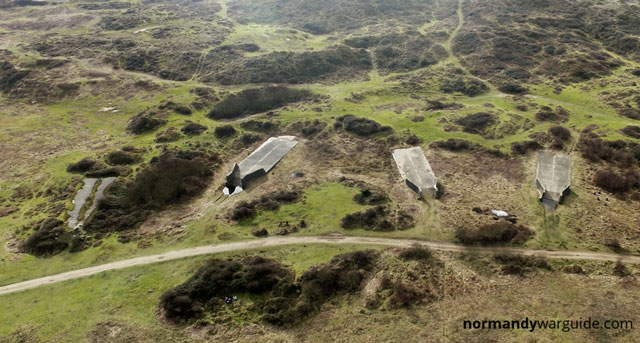
Landing Craft Tank (LCT)
LCT were assault vessels designed to land tanks or other large vehicles such as trucks directly onto beachheads. The mock LCTs at Braunton Burrows were originally built to match the dimensions of a Mk5 LCTs deck but were later extended at the rear to match the updated LCT Mk6.
The mock craft consisted of a concrete deck and concrete wall to the front of the craft leading to the ramp. The side and rear walls were constructed out of metal poles and corrugated tin.
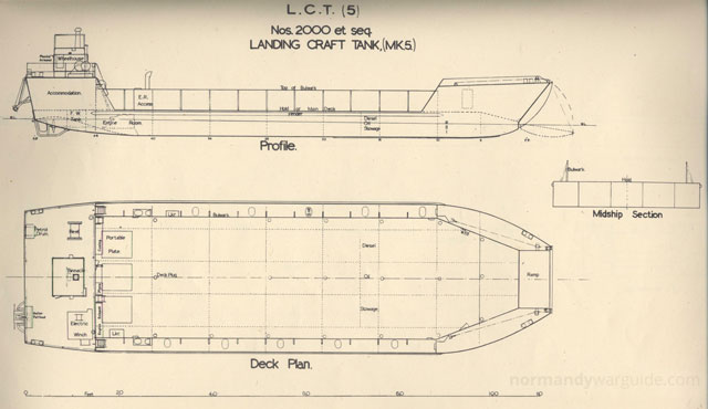 Profile and Deck plan of LCT Mk5
The remains of six of the mock LCTs remain today although some were partially demolished others still retain their concrete decks, ramps and concrete walls by the ramps however the metal sidings are no longer present but evidence of the supporting posts can still be seen.
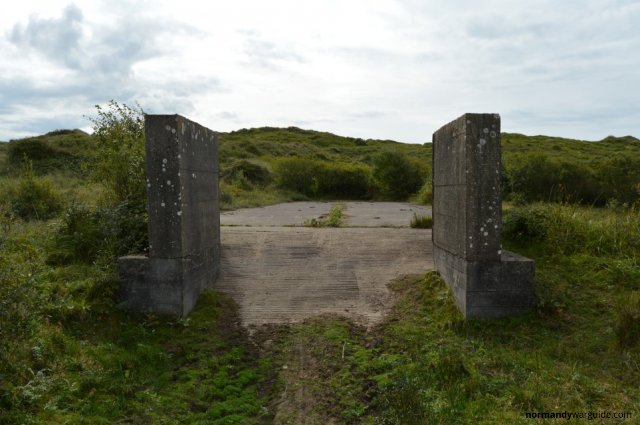 Front of concrete LCT mock-up
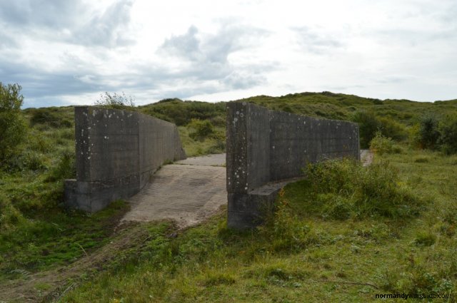 LCT mock-up ramp and front walls
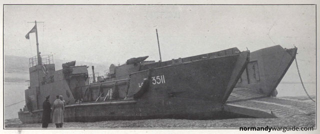 LCT(6) beached
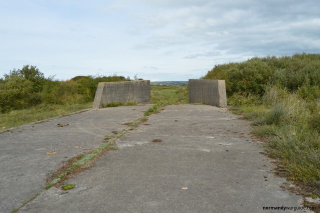 LCT mock-up rear view
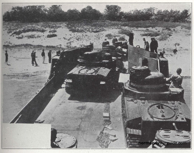 View of LCT(5) hold with tanks disembarking onto the beach
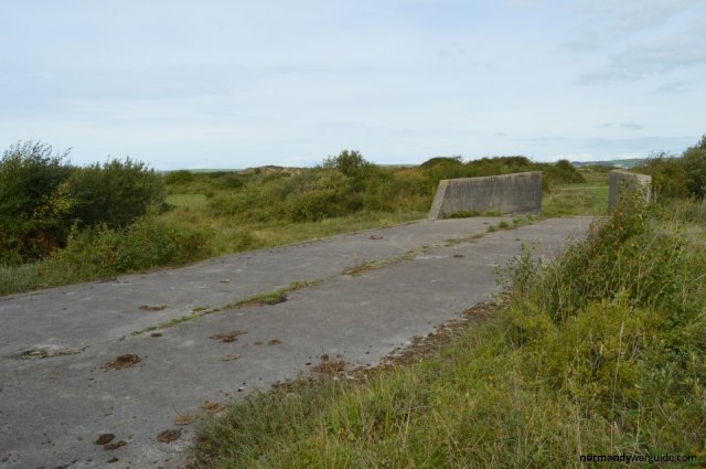 LCT mock-up rear side view
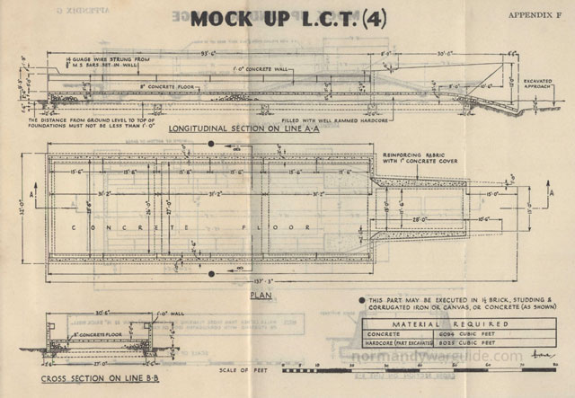 Diagram for a mock LCT Mk4 from the 1943 Combined Operations Training at Home Stations manual.
There is a memorial on one of the mock LCTs to the members of the allied forces who trained at Braunton Burrows for the liberation of Europe, “D” Day June 6th 1944.
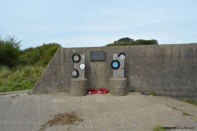 Memorial to the Allied forces who trained at Braunton Burrows.
Landing Craft Mechanised (LCM)
Landing Craft Mechanised were small craft designed to carry vehicles and supplies. The mock LCM at Baraunton Burrows appears to be a LCM Mk3 which had capacity for a single 30 ton tank or 60 men.
There were originally 7 mock LCMs at Braunton Burrows, but today only the remains of two are visible
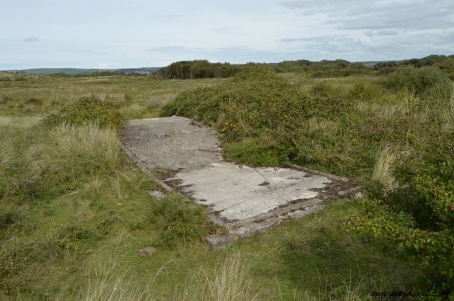 LCM rear view
The rear view of the mock LCM shows the angled tank deck, the same angled deck can be seen on the mock plans and photos of LCM below.
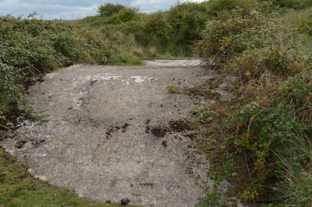 LCM front view
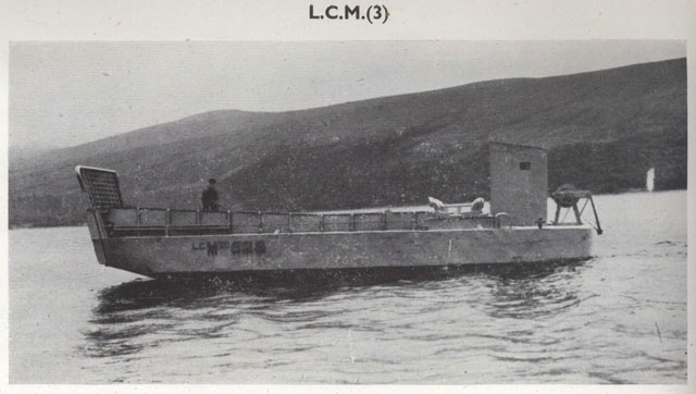 Broadside view of an LCM Mk3
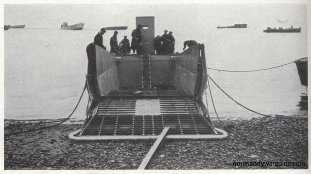 View of a beached LCM Mk3 with it’s ramp down
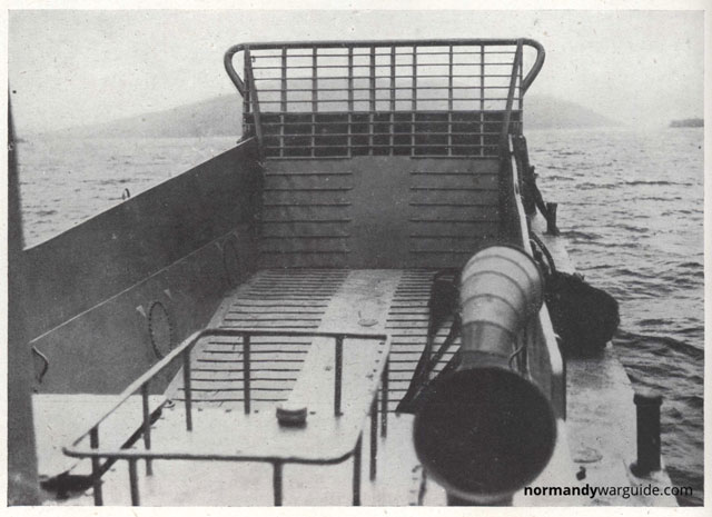 View of an LCM hold from the aft,
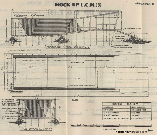 Diagram for a mock LCM Mk3 from the 1943 Combined Operations Training at Home Stations manual.
Visiting Braunton Burrows
Today Braunton Burrows is open to the public and the remains of the mock landing craft can be freely visited.
The easiest way to access them is to park at Crow Point which can be accessed via a private toll road. The landing craft can then be accessed by walking 500 meters South West along the trail and then a further 500 meters north along American Road.
Latitude: 51.076627, Longitude: -4.197887