Archives
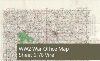
6F/6 - Vire - War Office Map (1:50,000)
War Office 1:50,000 WW2 Map 6F/6 Vire, Normandy, France
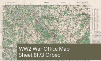
8F/3 - Orbec - War Office Map (1:50,000)
WW2 Map 8F/3 - Orbec shows the area of Normandy centered on the town of Orbec with Broglie and Bois de Broglie in the East

8E/2 - Cany - Barville- War Office Map (1:50,000)
WW2 Map 8E/2 - Cany Barville shows the area inland from St Valery En Caux and Fecamp.
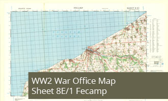
8E/1 - Fecamp - War Office Map (1:50,000)
WW2 Map 8E/1 Fecamp shows the Normandy North of Le Havre centered on the town of Fecamp
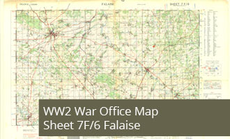
7F/6 - Falaise - War Office Map (1:50,000)
WW2 Map 7F/6 Falaise shows Falaise and the area to the South East
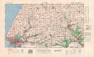
8E/3 (and 7E/4) - Le Havre - War Office Map (1:50,000)
WW2 Map 8E/3 and 7E/4 Le Havre shows the Normandy coast at Le Havre and the area inland to the East
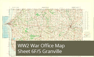
6F/5 - Granville - War Office Map (1:50,000)
WW2 Map 6F/5 Granville shows the South East coast of the Cotentin Peninsula in Normandy
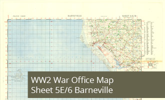
5E/6 - Barneville - War Office Map (1:50,000)
WW2 Map 5E/6 Barneville shows the Normandy coast on the South West of the Cotentin Peninsula.

8F/1 - Lisieux - War Office Map (1:50,000)
WW2 Map 8F/1 Lisieux, Normandy, War Office 1:50,000 map of France, 1943 Second Edition
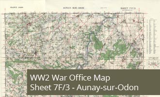
7F/3 - Aunay-sur-Odon - War Office Map (1:50,000)
WW2 Map 7F/3 Aunay-sur-Odon shows the area inland from Caen including the towns of Villers Bocage and Aunay sur Odon
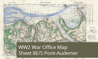
8E/5 - Pont-Audemer - War Office Map (1:50,000)
WW2 Map 8E/5 Pont-Audemer shows the Normandy of Normandy between Trouville and Le Havre
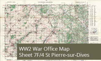
7F/4 - St Pierre-Sur-Dives - War Office Map (1:50,000)
WW2 Map 7F/4 St Pierre-Sur-Dives, central to the map is the Normandy town of St Pierre-Sur-Dives 18 miles South East of Caen.