Archives
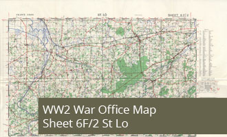
6F/2 - St Lo - War Office Map (1:50,000)
War Office 1:50,000 map of France - 6F/2 St Lo, 1943 Second Edition WW2 Map 6F/2 St Lo shows the Normandy city of St Lo, this map is to the South of Isigny and West of Caen

7F/2 - Troarn - War Office Map (1:50,000)
WW2 Map 7F/2 Troarn shows the towns of Ranville and the East of Ouistreham as well as the bridges over the Caen Canal and River Orne which would later be known as Pegasus and Horsa Bridge.
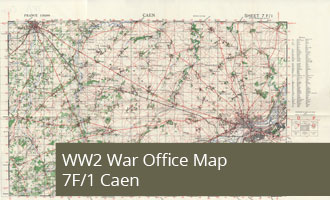
7F/1 - Caen - War Office Map (1:50,000)
WW2 Map 7F/1 Caen shows the City of Caen in the East and Bayeux in the West showing the area inland of the British and Canadian landing beaches
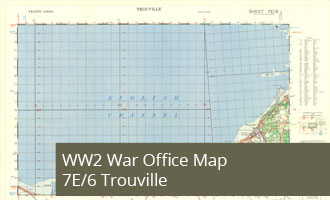
7E/6 - Trouville - War Office Map (1:50,000)
WW2 Map 7E/6 Trouville shows the Normandy coast East of the Sword Beach from Houlgate to Trouville
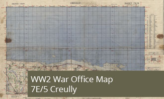
7E/5 - Creully - War Office Map (1:50,000)
WW2 Map 7E/5 Creully shows the Normandy coast between Lion-sur-Mur and Le Mesnil covering most of Sword Beach and Juno Beach and all of Juno Beach.
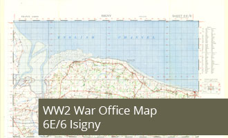
6E/6 - Isigny - War Office Map (1:50,000)
WW2 Map 6E/6 Isigny shows the Utah Beech and Omaha Beach landing areas on the Normandy Coast.
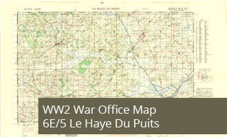
6E/5 - Le Haye Du Puits - War Office Map (1:50,000)
WW2 Map 6E/5 Le Haye Du Puits shows the area between Utah beach and the Cotentin Peninsula including the towns of St Mere-Eglise and Carentan